Black Gulch Trail
Kern County / Lake Isabella
August, 2002
Traveling south past the main dam of Lake Isabella on highway 155 we found Keyesville Road. According to the maps we should find a number of trails off this road, and eventually make our way down the Black Gulch Trail to the Kern River. A short distance on the paved Keysville Road and we find the big bulletin board with the free maps of the local trails.
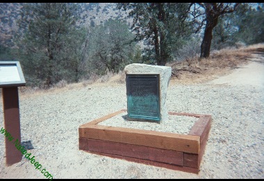
Note that the town name on the monument is Keyesville while the road name is Keysville. Somewhere the extra E in Keyesville did not make the transition from the town name to the road name.
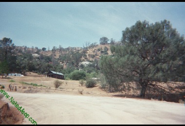
The bulletin board is at one edge of a large expanse of dirt where a couple of trailheads lead off in different directions. Map in hand, we drove over to read a couple of trail markers and then headed for the shade of the one lonely tree. As we sat reviewing the maps, a blue pickup drove up and a man wearing a BLM hat came up to us. "What are you looking for? Fishing or four-wheeling?" he asks. A little of both we reply. And so we're treated to a complete review of the trails on the map from someone who lives right in the middle of them. We're living right.

